State-of-the-Art Surveyors in North Texas

Texas Reality Capture & Surveying has expert staff with upwards of 25 years of surveying experience. Each job is completed with our state-of-the-art equipment, ensuring that you receive the most professional service possible.

Reliable and Professional

Texas Reality Capture & Surveying values its clients and prides itself on customer care. Our dependable staff will provide responses to all customer phone calls, text messages, or emails in 24-48 hours.

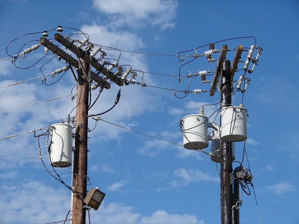
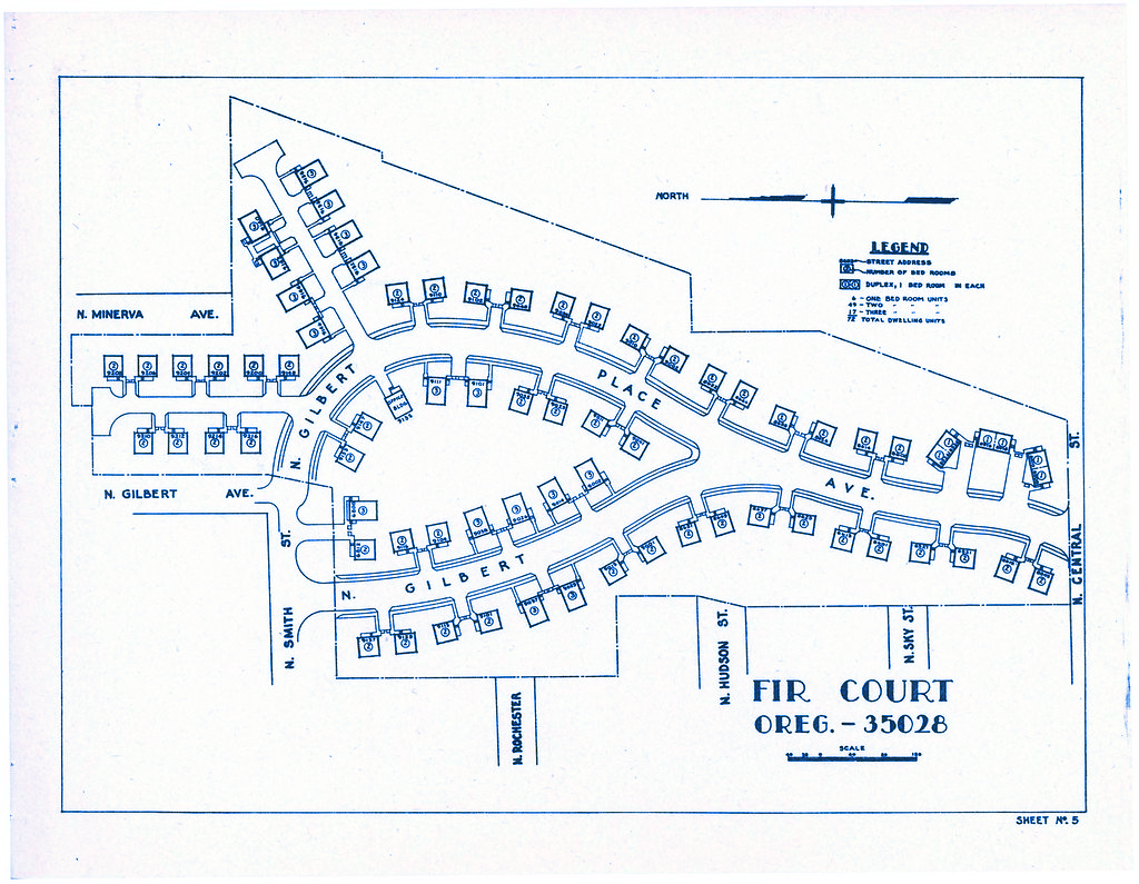
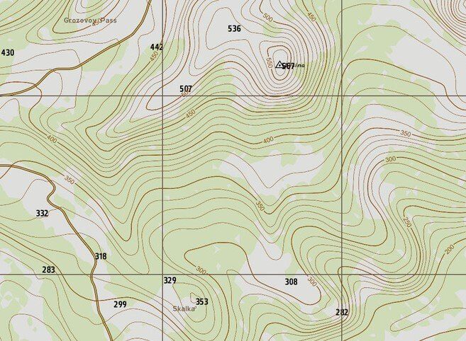
Our Surveying Services

  • Land surveying
    • customer testimonial

      "Best experience ever. Tim was very helpful and considerate. He answered all of our questions with precision and accuracy. Will always recommend them when someone is needing this service!!!"


      - Mary C.

      Button
    • customer testimonial

      “I have worked with many surveyors but there is no better resource for surveying or platting than TXRCS. Their knowledge, experience, and willingness to share are second to none.”


      - Dustin J.

      Button
    • customer testimonial

      “Tim Jackson and his staff are the best around! Their knowledge of surveying, the platting process, and development is invaluable. I have always received first-class service.”


      - Cody C.

      Button
    • “The knowledge, experience, and service from TxRCS are the best available. They are my preferred surveyor, preparing over 80% of my orders. When needed, they solve problems and always do their best to deliver on time.”


      - Tim C.

      Button
    • customer testimonial

      “TXRCS staff is accurate, responsive, and reliable. Tim Jackson’s knowledge of surveying, platting, easements and so much more, have proven to be extremely valuable for my business. From a 1 lot plat to 400, from 1 acre to 2,000+, deed issues, and easement resolutions, TXRCS has assisted us every step of the way to finish our project.”


      - Andrew G.

      Button

    Leadership

    Land surveying
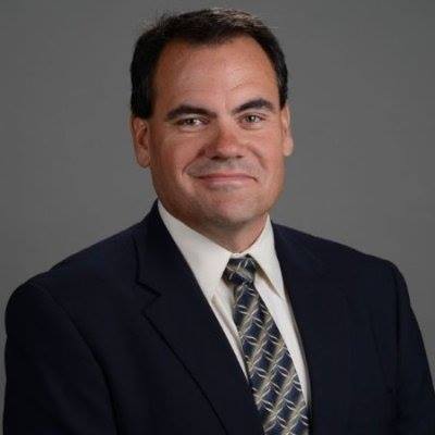
    Timothy L. Jackson, RPLS - VP of Operations

    Tim Jackson is a Registered Professional Land Surveyor who is licensed to conduct land surveys in the state of Texas. Tim has been a land surveyor for over 25 years. He has worked on boundary and ALTA surveys, subdivision platting, easements, construction staking, and topographic surveys.


    Tim has provided services to a variety of clients including State Departments of Transportation, municipalities, land developers, real estate agents as well as land owners.


    Since 2004, Tim has been a pioneer in the laser scanning industry. He's given talks at national laser scanning conferences, written articles for national publications, and collaborated directly with equipment makers and software developers to improve products.


    Timothy L. Jackson, RPLS
    Vice President of Operations
    214-869-8813

    survey@texasrcs.com

    Frequently Asked Questions

    Got a Question? We Are Here to Help!

    • Can you tell me more about Texas Reality Capture and Surveying?

      Texas Reality Capture and Survey LLC provide land surveying services for a variety of land surveying needs. Our reliable field personnel delivers quality land surveying in a timely manner while keeping you informed of their progress.


      Our licensed professionals have over 20 years of land surveying experience in many forms of land surveying, including subdivision platting, easements, construction staking, and topographic surveys.

    • What areas does TxRCS serve?

      Texas Reality Capture and Scanning is proud to serve the people of Ellis County, Navarro County, Hill County, and Johnson County.

    • How much does a survey cost?

      The cost of a survey is specific to each property. Factors that can affect the price are the size of the property, the shape of the property, location, creeks, trees, and dense vegetation. For example, original town lots can be difficult due to the errors in surveying methods from the early 1900s. Also, the maps can be old and illegible. Additionally, a residential survey in a newly created subdivision is far less expensive than a 100-acre survey of solid trees. 

    • What is the difference between a survey and a plat?

      A survey, boundary survey, land title survey, and survey plat are private survey documents between a client and the surveyor. They are generally shared with title companies, banks, and lenders in connection with real estate transactions. They will reestablish and identify the property boundaries, show all improvements to the property (houses, fences, driveways, above-ground utilities, pools, sidewalks, etc) as well as a written description of the property. This can be in the form of a lot and block designation of a subdivision (such as Lot 1, Block A of XYZ Subdivision) or a metes and bounds description (such as beginning at the northeast corner of Farmer Jones land, thence north 89 degrees 52 minutes west 1589 feet to a tree).  Most of these surveys, especially if the transaction has a title company involved, will also include easements that affect the property. Easements may not always be included as part of the surveying services so inquire with your surveyor about this. These survey documents are NOT filed for public records in the state of Texas. However, if the property is sold and the survey is used, the deed that is created will usually contain the written property description. The deed is filed with the county clerk of the county the property is within.


      A plat, subdivision plat, replat (if the property was previously platted), or various other types of plats, are public documents required by the city or county. The document creates the subdivision of the land – even in some cases if it is only a single lot subdivision. These documents have very specific language that allows easements and rights-of-ways to be created as well as multiple lots, simultaneously. There are many requirements that must be met through a formal and legal process of approval of the city or county. These plats are filed for public record in the county clerk’s office of the county the property is within.

    • I am buying a property, am I required to have a survey?

      It is never a good idea to buy property without a survey – you want to know what you are buying. This should help eliminate any boundary disputes in the future. Additionally, if a lender or title company is involved you may be required to have a survey. The lender needs to know what they are lending money for and the title insurance policy may have survey coverage.

    • I am told I must plat, what do I do?

      First – welcome to the wonderful world of land development. You probably never considered yourself a developer. In the eyes of the city or county – you are now! Second – if you are within our service area – call TXRCS immediately. We have an excellent knowledge of most of the platting authorities in this area and know their requirements very well. If for some reason there is a unique or interesting twist that we have not seen, we will direct you to the appropriate government body to meet with prior to hiring us. They will guide both of us to get to a resolution and give direction on how to proceed.  Most platting processes take about a month of review and approval. Some can take longer depending on the circumstances.

    Share by: